
Welcome to RRCO Enterprises Ltd
Cutting-edge Lidar and survey company
We provide high-quality aerial photography, land surveying, mapping services, and technical solutions to businesses. With advanced Lidar technology and expertise in the field, we deliver accurate and reliable data for your project needs.
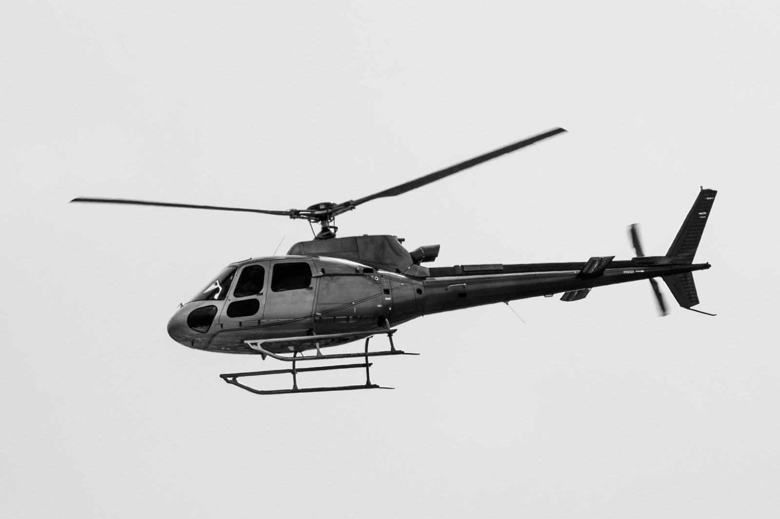
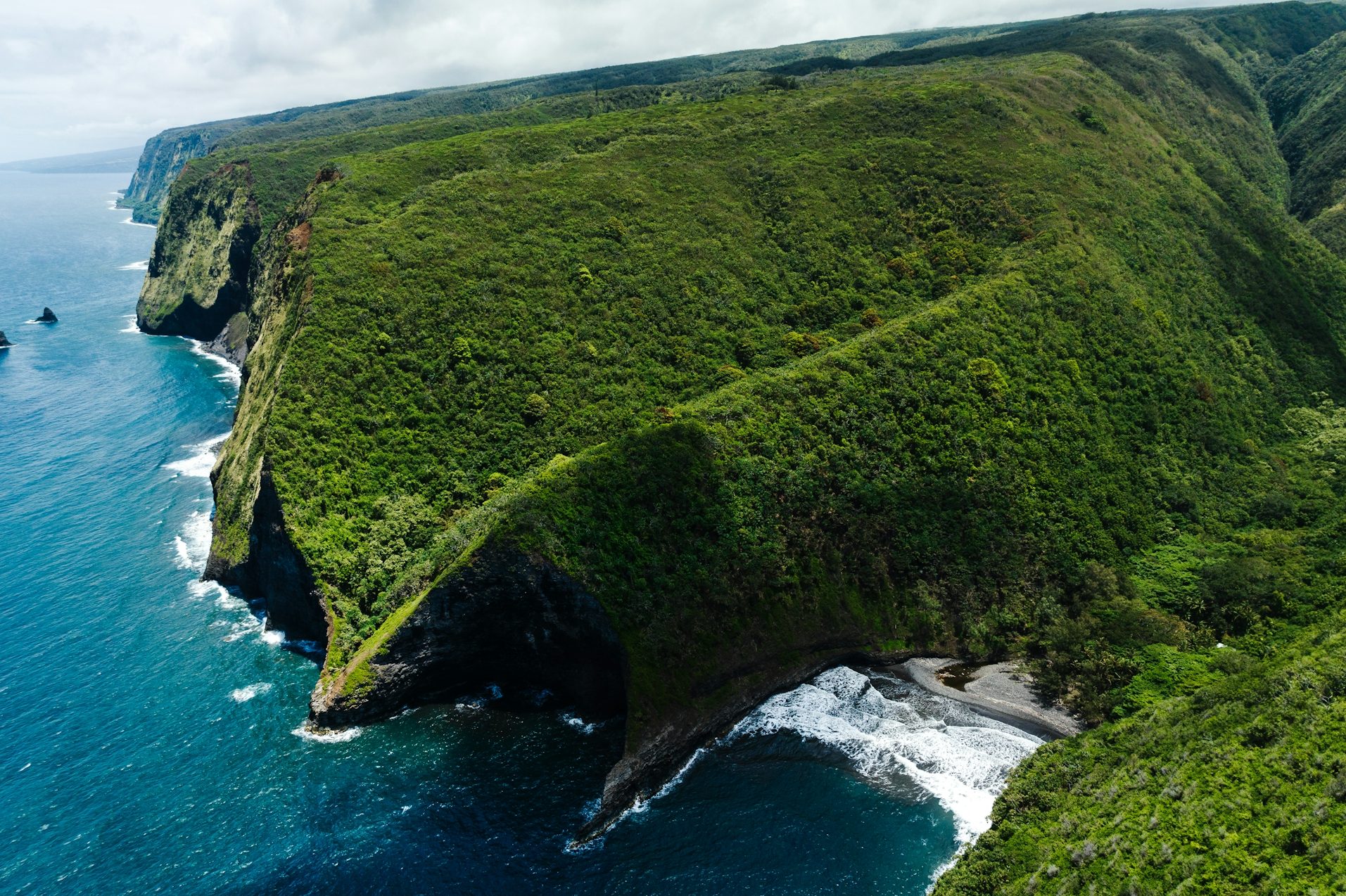
Expertise in Aerial Photography
Our team of experienced aerial photographers is skilled in capturing stunning images from unique perspectives, enhancing the visual appeal of your projects.
Accurate Land Surveying
Using advanced Lidar technology, we conduct precise land surveys, providing accurate topographic information and measurements.

Comprehensive Mapping Services
Our mapping services combine Lidar data with advanced software, enabling us to create detailed and customized maps for various applications.
About Us
Who We Are
RRCO Enterprises Ltd is a leading provider of aerial photography, land surveying, mapping services, and technical solutions. With years of experience and a team of skilled professionals, we are committed to delivering exceptional results for our clients. We utilize cutting-edge Lidar technology to capture detailed and precise data, ensuring accurate and reliable measurements for a wide range of industries and projects.
Get in touch
20+
Years of Experience
©Copyright. All rights reserved.
We need your consent to load the translations
We use a third-party service to translate the website content that may collect data about your activity. Please review the details in the privacy policy and accept the service to view the translations.